

Turning Location Data Into Real-World Solutions
From millimeter-grade UAV LiDAR terrain mapping and satellite Earth observation telemetry to custom 3D Web GIS platforms and predictive GeoAI pipelines—engineered for sustainable infrastructure and enterprise governance across Sri Lanka and the Indian Ocean basin.
Our Geospatial Services
High-precision spatial analysis, satellite Earth observation, UAV surveying, and intelligent GeoAI pipelines engineered for mission-critical decision making.
GIS & Spatial Analysis
Comprehensive geographic data analysis, multi-criteria site suitability modeling, and network optimization. We integrate complex spatial datasets, cadastral layers, and topographical information to deliver interactive cartographic intelligence and robust spatial decision support systems for urban planning, governance, and infrastructure development.

Remote Sensing
High-resolution satellite and aerial imagery processing, multi-spectral band analysis, and automated feature extraction. We monitor large-scale environmental dynamics, vegetation health indices (NDVI/NDRE), land use and land cover (LULC) changes, and radar (SAR) flood inundation patterns to extract actionable insights from continuous Earth observation telemetry.

UAV / Drone Mapping
Centimeter-grade aerial surveying, photogrammetry mapping, and high-density LiDAR data acquisition. Deploying specialized RTK/PPK drone fleets, we generate georeferenced orthomosaics, Digital Elevation Models (DEM/DSM), 3D point clouds, and precision cut-and-fill volumetric assessments for construction, mining, and topographic reconnaissance.

Web GIS
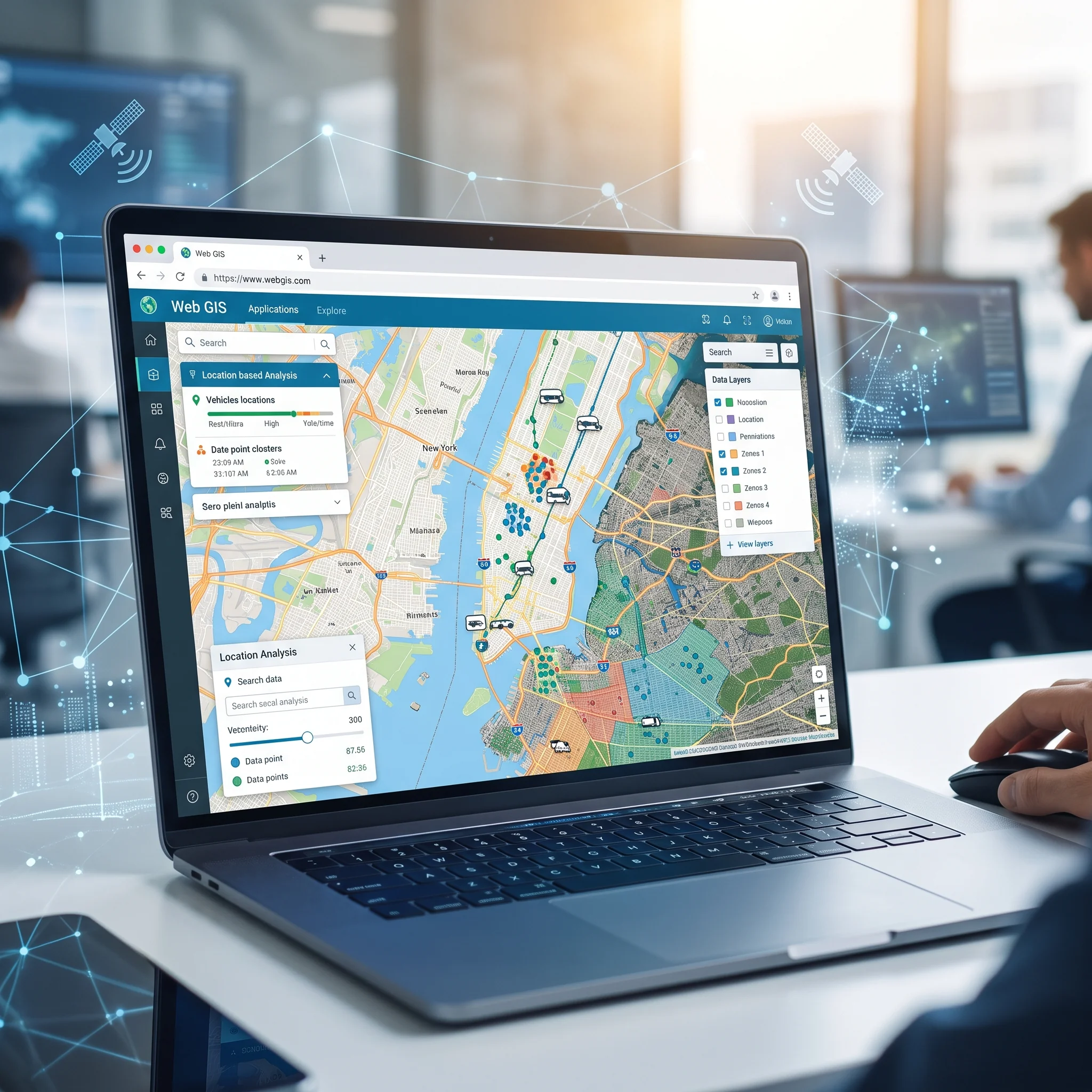
Custom-engineered web geoportals, cloud-native map viewers, and enterprise spatial database systems. We architect highly responsive, interactive web GIS applications featuring secure role-based access, real-time spatial querying, spatial dashboarding, and seamless RESTful geospatial API integrations accessible across any browser or mobile device.
AI & Machine Learning
Intelligent spatial predictive modeling, automated deep learning feature segmentation, and GeoAI computer vision pipelines. We train custom neural networks for automated building footprint extraction, road network delineation, disaster vulnerability simulation, and predictive geospatial pattern recognition across complex temporal datasets.
Spatial Data Science
Advanced spatial statistics, spatial autocorrelation, point pattern analysis, and predictive data analytics. We bridge big data engineering and spatial econometrics to uncover hidden geographic relationships, cluster anomalies, and location-driven market behaviors that drive strategic policy, logistics, and investment decisions.

3D GIS & Digital Reality
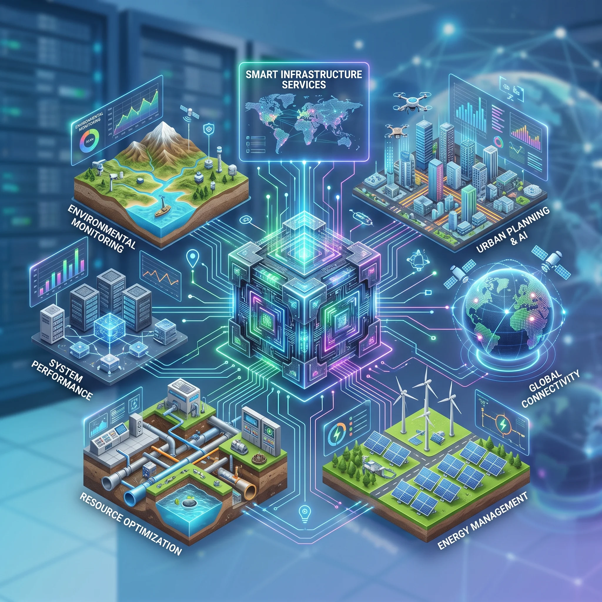
Photorealistic 3D city modeling, digital twins, immersive VR/AR spatial experiences, and procedural terrain visualization. We transform raw LiDAR point clouds and BIM datasets into dynamic, interactive 3D digital environments enabling virtual walk-throughs, shadow and line-of-sight simulations, and smart city infrastructure management.

Sustainable Solutions
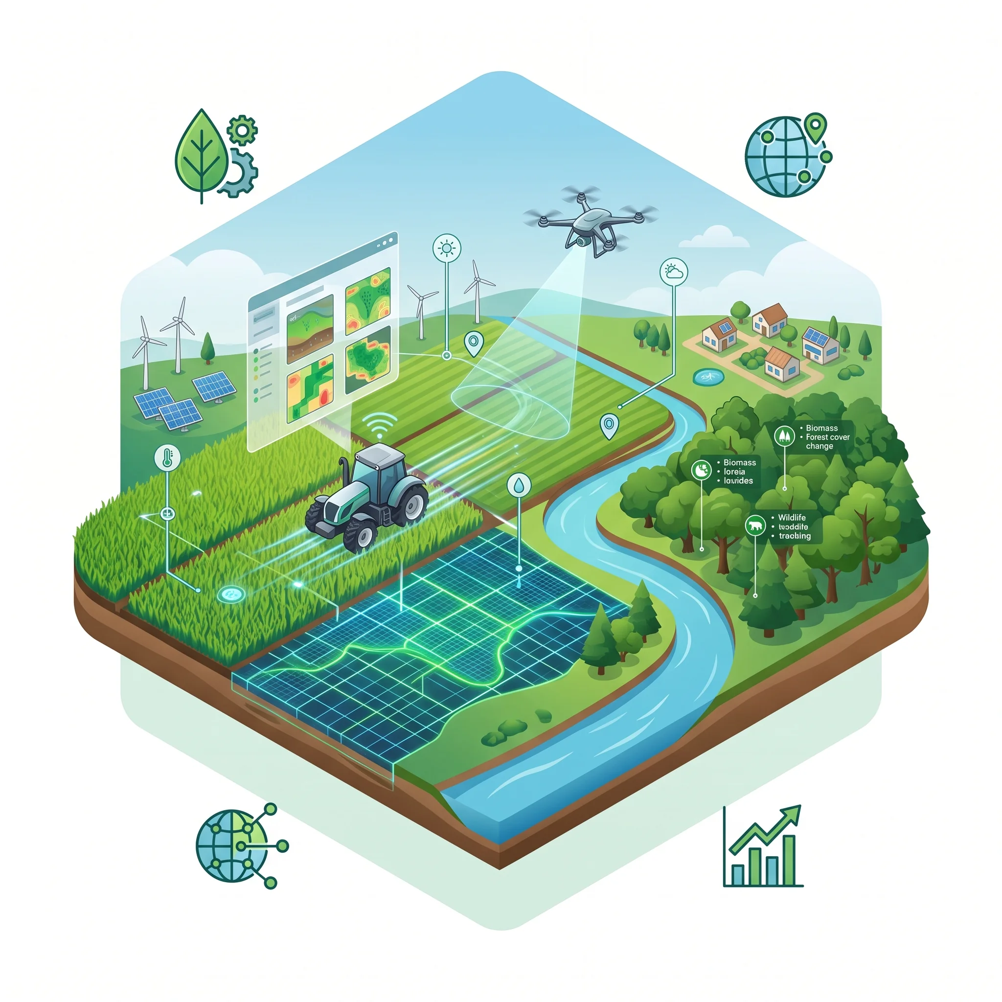
Cutting-edge spatial technologies dedicated to precision agriculture, forest conservation, climate resilience, and natural resource management. We empower environmental stewards and agricultural enterprises with real-time soil moisture monitoring, crop yield forecasting, carbon sequestration modeling, and watershed vulnerability mitigation strategies.
Client Reviews & Spatial Ratings
Verifiable feedback from public institutions, conservation trusts, infrastructure engineers, and enterprise partners across Sri Lanka and the South Asian region.
Based on 48 Verified Project Deliveries
What Our Clients Say
Real testimonials from conservationists, infrastructure directors, and enterprise decision-makers deploying VitaGIS intelligence.
“The elephant movement corridor analytics and Minneriya telemetry buffer map developed by VitaGIS has fundamentally changed how we manage track safety. Precise, actionable, and delivered with genuine ecological passion.”
Dr. Harini Jayawardena
Lead Ecologist, Sri Lanka Wildlife Trust
“VitaGIS delivered an exceptional 3D LiDAR slope stability model for Kadugannawa Pass. Their real-time monsoon rainfall accumulation threshold triggers gave our highway engineers unprecedented early warning accuracy.”
Eng. Rohan Senanayake
Chief Geotechnical Consultant, Road Development Authority
“Their Island-wide apiculture suitability matrix and 300m nectar foraging radius mapping helped our cooperative reduce colony desertion rates to under 9%. The localized mobile Web GIS is a triumph for rural beekeepers.”
Sunil Dharmapala
President, National Apiary & Agroforestry Federation
“The interactive cultural heritage & tourist crowd storytelling platform for Kandy UNESCO City increased tourist dwell time by 42%. The 3D architectural digital twin and turn-by-turn routing is world-class.”
Ananya Mendis
Director of Cultural Tourism, Central Province Heritage Council
“The elephant movement corridor analytics and Minneriya telemetry buffer map developed by VitaGIS has fundamentally changed how we manage track safety. Precise, actionable, and delivered with genuine ecological passion.”
Dr. Harini Jayawardena
Lead Ecologist, Sri Lanka Wildlife Trust
“VitaGIS delivered an exceptional 3D LiDAR slope stability model for Kadugannawa Pass. Their real-time monsoon rainfall accumulation threshold triggers gave our highway engineers unprecedented early warning accuracy.”
Eng. Rohan Senanayake
Chief Geotechnical Consultant, Road Development Authority
“Their Island-wide apiculture suitability matrix and 300m nectar foraging radius mapping helped our cooperative reduce colony desertion rates to under 9%. The localized mobile Web GIS is a triumph for rural beekeepers.”
Sunil Dharmapala
President, National Apiary & Agroforestry Federation
“The interactive cultural heritage & tourist crowd storytelling platform for Kandy UNESCO City increased tourist dwell time by 42%. The 3D architectural digital twin and turn-by-turn routing is world-class.”
Ananya Mendis
Director of Cultural Tourism, Central Province Heritage Council
“The elephant movement corridor analytics and Minneriya telemetry buffer map developed by VitaGIS has fundamentally changed how we manage track safety. Precise, actionable, and delivered with genuine ecological passion.”
Dr. Harini Jayawardena
Lead Ecologist, Sri Lanka Wildlife Trust
“VitaGIS delivered an exceptional 3D LiDAR slope stability model for Kadugannawa Pass. Their real-time monsoon rainfall accumulation threshold triggers gave our highway engineers unprecedented early warning accuracy.”
Eng. Rohan Senanayake
Chief Geotechnical Consultant, Road Development Authority
“Their Island-wide apiculture suitability matrix and 300m nectar foraging radius mapping helped our cooperative reduce colony desertion rates to under 9%. The localized mobile Web GIS is a triumph for rural beekeepers.”
Sunil Dharmapala
President, National Apiary & Agroforestry Federation
“The interactive cultural heritage & tourist crowd storytelling platform for Kandy UNESCO City increased tourist dwell time by 42%. The 3D architectural digital twin and turn-by-turn routing is world-class.”
Ananya Mendis
Director of Cultural Tourism, Central Province Heritage Council
Have a Specific Spatial Challenge in Mind?
Whether you need drone LiDAR mapping, satellite time-series analytics, or a custom 3D Web GIS geoportal, our geospatial engineers are ready to scope and deploy your solution. Direct inquiry: [email protected]