
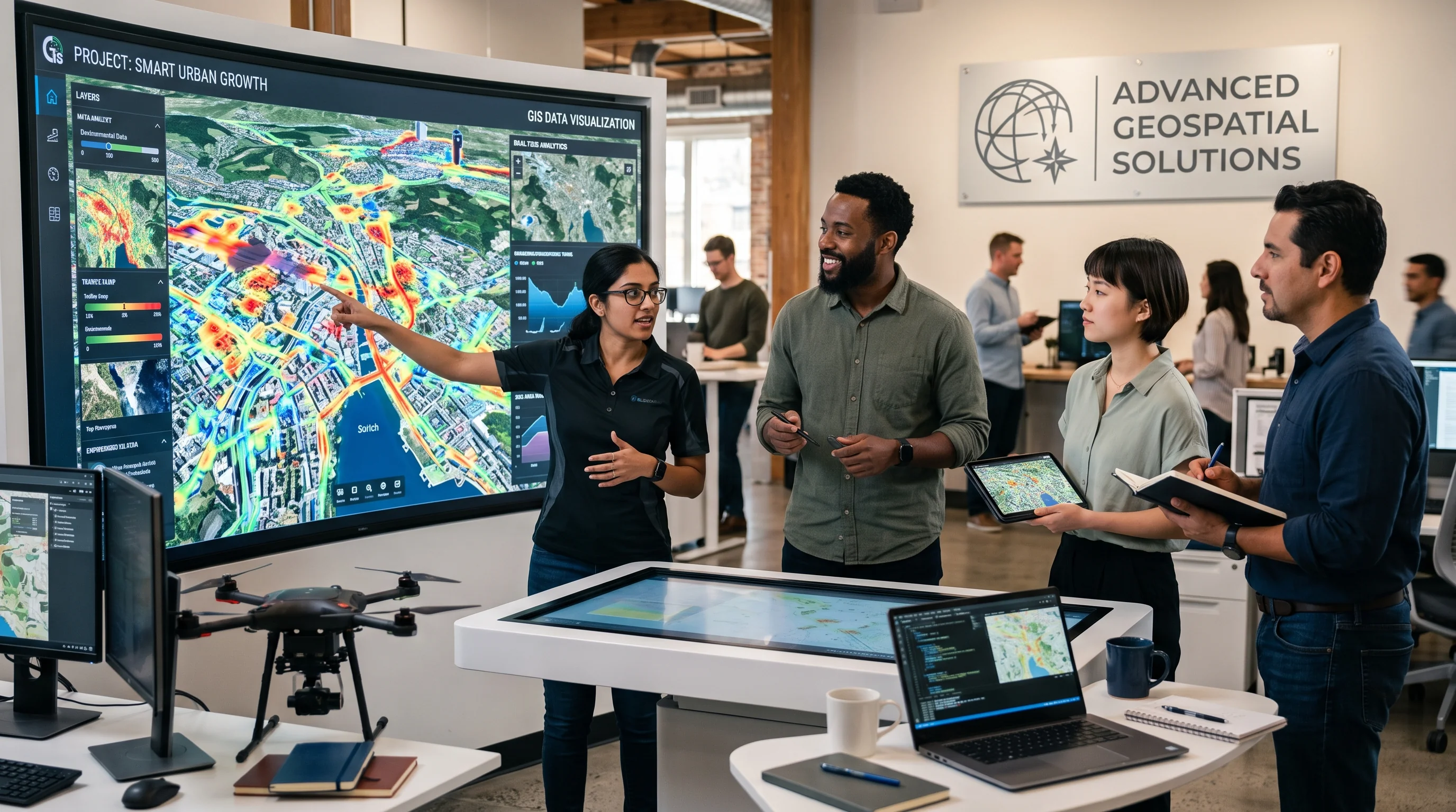
Bridging Earth Systems & Digital Intelligence
VitaGIS (PVT) LTD transforms complex location-based data into actionable, high-precision solutions. By merging GIS, Remote Sensing, UAV LiDAR, Artificial Intelligence, and modern Web GIS architectures, we empower institutions and enterprises to make sustainable, location-aware decisions.
Multi-Spectral Constellations
UAV LiDAR & RTK Precision
National & Regional Missions
Model Predictive Reliability
Our Vision and Mission
Guided by spatial precision, environmental stewardship, and continuous engineering innovation — shaping how institutions understand and protect our changing planet.
Our
Vision
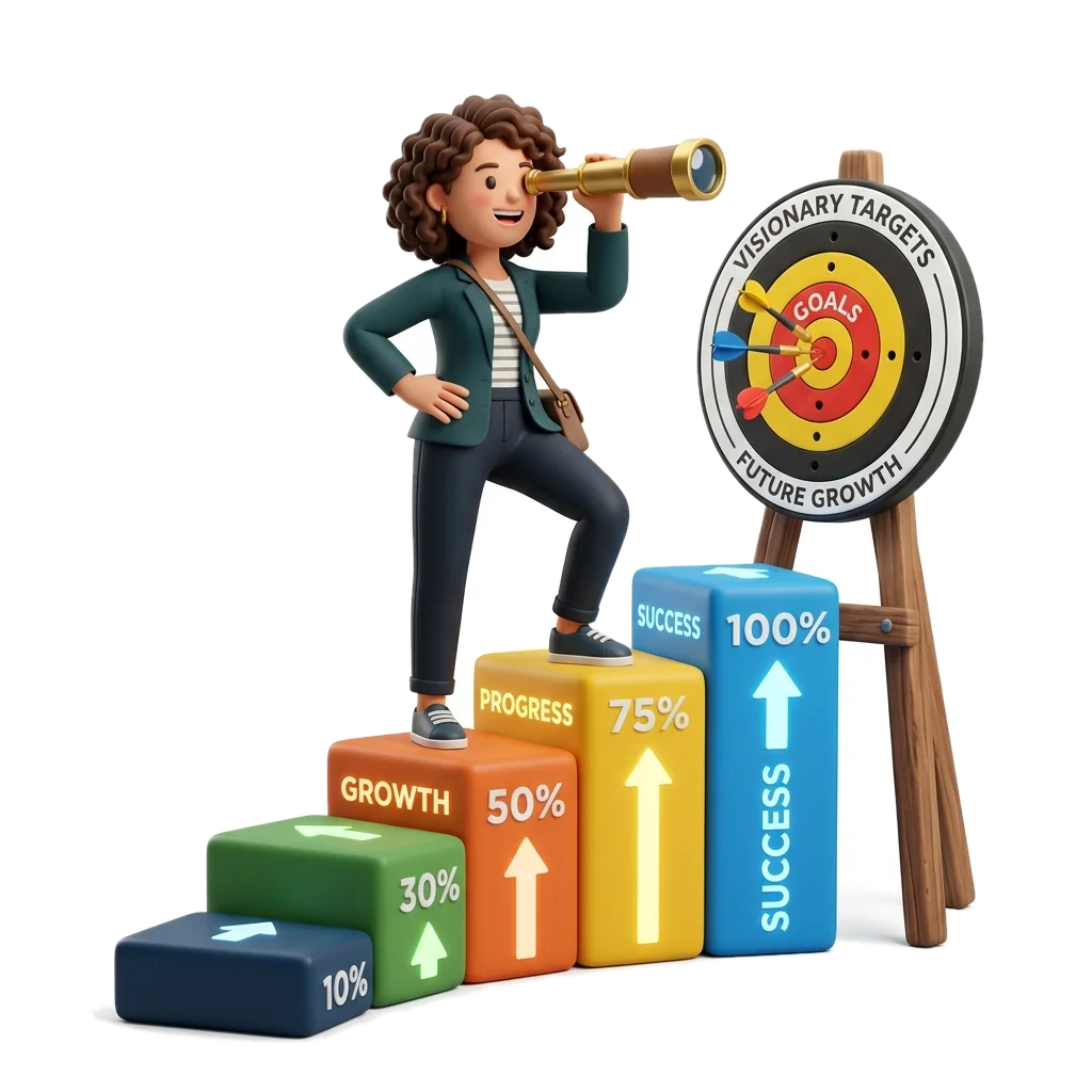
To become a trusted leader in GIS and technology solutions, driving innovation and environmental sustainability through spatial intelligence.
Our
Mission

To deliver innovative GIS and technology solutions that transform spatial data into intelligent decisions, solve real-world problems and support sustainable development.
Why Choose VitaGIS?
From high-resolution UAV surveys to nationwide GeoAI modeling, we deliver reliable, high-precision spatial intelligence for complex real-world decisions.
Sub-Centimeter Accuracy
High-fidelity spatial data engineered with RTK/PPK GNSS positioning, sub-decimeter UAV LiDAR, and verified ground control networks.
Next-Gen GeoAI & Tech
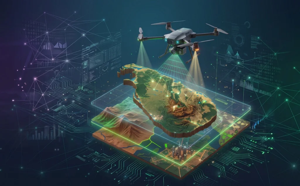
Automated satellite constellation feeds, deep learning feature detection, and real-time 3D WebGL digital twin architectures.
Multidisciplinary Experience
Over 40+ missions delivered by senior Earth Observation researchers, certified UAV pilots, and cloud GIS software architects.
Deep Local Ground Truth
Unmatched native understanding of Sri Lanka’s distinct microclimates, tropical hydrology, complex corridors, and statutory standards.
CLIENTS / PARTNERS
Empowering Visionary Organizations with Precision Spatial Intelligence
We collaborate with premier Earth Observation providers, public authorities, and technological leaders to deploy high-impact geospatial solutions.

Ready to Collaborate With Our Geospatial Team?
Whether you need drone LiDAR mapping, satellite environmental monitoring, or custom Web GIS architectures, we are ready to partner with you. Direct inquiry: [email protected]