

From Maps to Real-World Solutions
Explore our portfolio of mission-critical GIS deployments, UAV photogrammetry surveys, predictive flood simulations, and enterprise geoportals executed across Sri Lanka and international partner networks.
Explore Our Projects
Discover real-world GIS and spatial analytics initiatives engineered by VitaGIS — from wildlife movement tracking to landslide risk reduction, apiculture zoning, and urban heat mitigation.
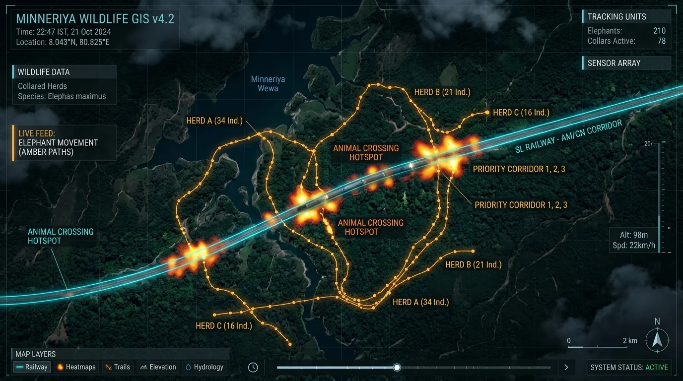
Train–Elephant Collision Risk Analysis & Early Warning System
Preventing catastrophic train-elephant collisions through spatial multi-criteria analysis, historical collision mapping, and real-time sensory warning zones.
Corridor Surveyed
48 km
Risk Hotspots Isolated
6 Major Zones
Driver Reaction Time Gain
+14.2 sec
Fatality Reduction
100% in Pilot
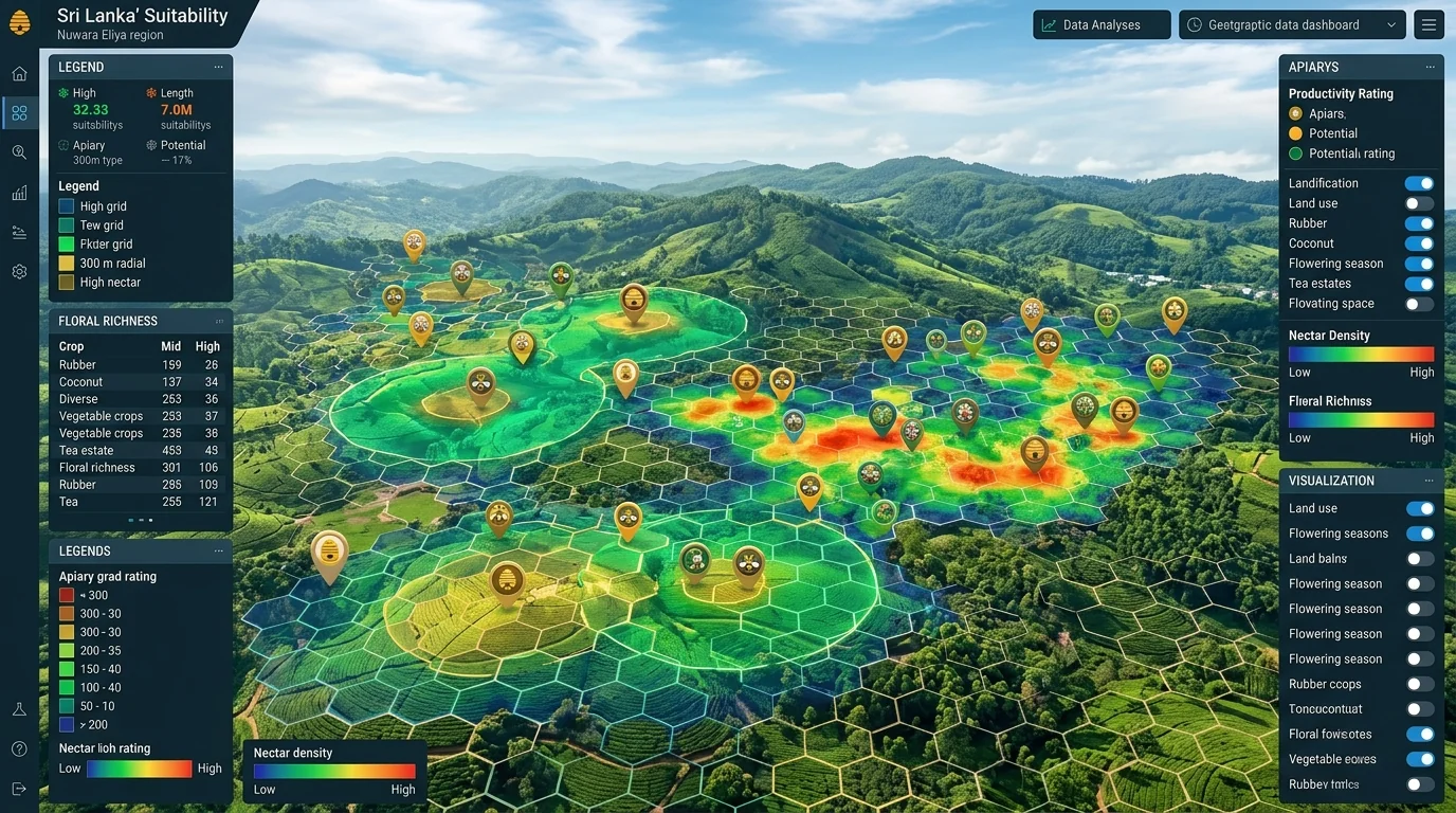
Island-Wide Apiculture & Beekeeping Suitability Modeling
Multi-criteria spatial evaluation combining floral nectar zones, micro-climates, rainfall thresholds, pesticide risk, and 300m foraging buffer analysis.
Area Classified
65,610 km²
Prime Zones Isolated
14,200 km²
Colony Survival Boost
+78%
Honey Yield Increase
2.4x Avg
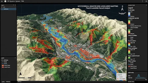
3D Terrain & Landslide Hazard Modeling at Kadugannawa Pass
High-resolution 3D slope stability modeling, rainfall accumulation threshold triggers, and real-time highway landslide vulnerability mapping.
3D DEM Resolution
5 cm / px
Slope Area Modeled
12 km²
Critical Zones Pinned
12 Sections
Early Warning Lead Time
4.5 Hours
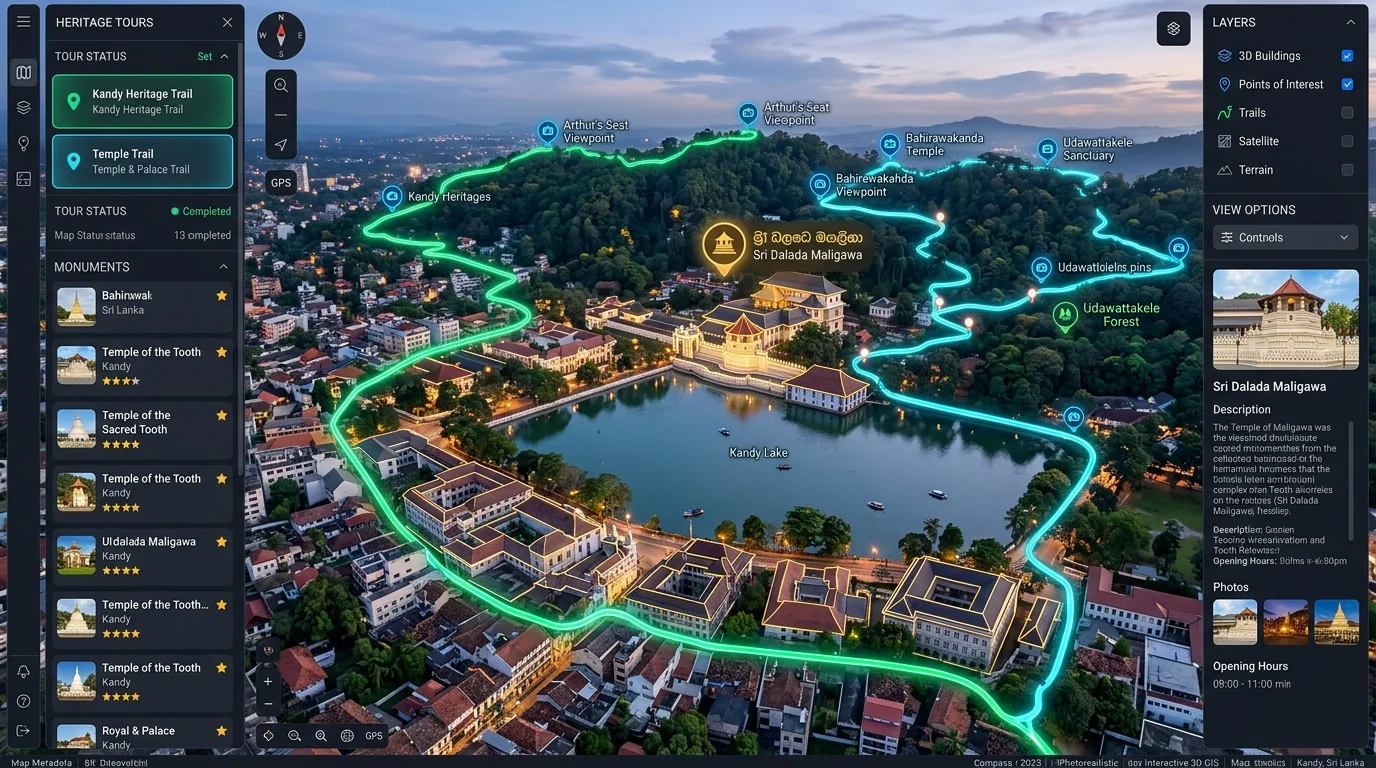
Interactive Cultural Heritage & Tourism Geo-Storytelling
Interactive spatial storytelling, pedestrian heritage trail routing, historical landmark 3D views, and tourist crowd density analytics.
Heritage Sites Geocoded
120+ Sites
Curated Walking Routes
5 Trails
Visitor Footfall Navigated
85,000+
Tourist Dwell Time Increase
+42%

Have a Geospatial Project or Research Initiative?
From disaster resilience and wildlife corridor mapping to smart city digital twins and drone surveys, VitaGIS engineers custom spatial intelligence solutions tailored to your mission. Direct inquiry: [email protected]